Welcome to WxChaser.com!
September 3 , 2005 Stearns County Severe Storms
Well, an unexpected day from my point of view. My brother and I were staying in Fergus Falls as we were attending the WMSTR show in Rollag, MN.
After leaving the grounds later on Saturday, we came upon the severe storms in Stearns County and held up a bit to watch them. All pictures below are from about 6:40pm to 7:10pm. As I wasn't expecting to chase and were in my brothers car, we had no maps or radio, so we didn't leave the freeway much. Watching the radar on my cell phone (Pilot My-Cast) it looked like we didn't need to leave the freeway by much to see the storm. We pulled off at the Avon exit and watched for a bit.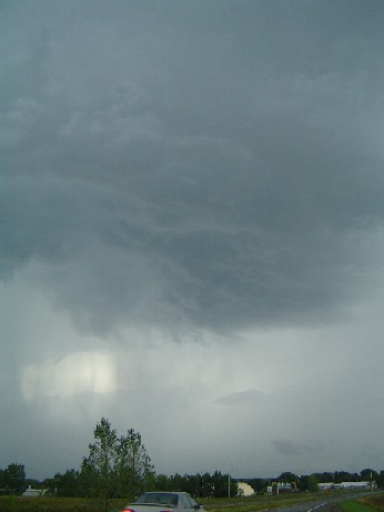
At first, the storm had a nice updraft area, and even produced a couple needle funnels, but otherwise, there was nothing of note.
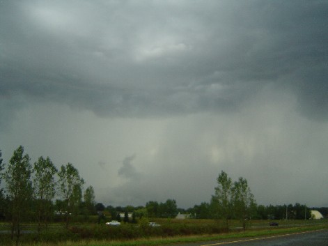
Quite soon though, the storm became very outflowish, and a very nice shelf cloud started pushing out. There was also a new storm just to our south that was getting started and had a strengthening updraft to it.
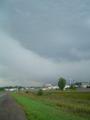
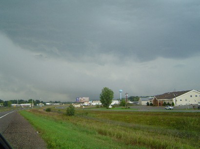
In this image the shelf pushed to nearly overhead. At this point we started down the road again just sneaking through between the two.
I got back home to Maple Grove and basically was woke up every hour or so all night with warnings and what seemed to be almost continuous thunder. It was a neat little chase for just driving back home.